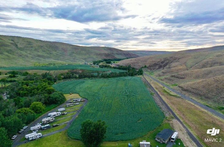
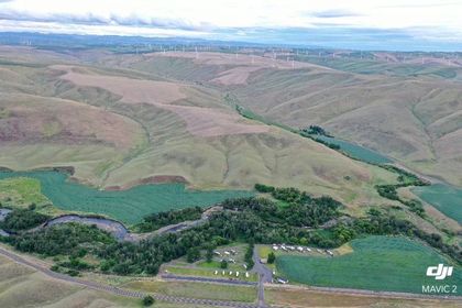
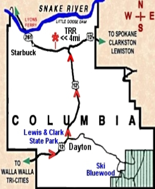
Directions
Travel 15 miles northeast of Dayton on State Highway 12, then 4 miles West on State Highway 261
Very Important!
If you are coming from the south, from or through Walla Walla, be careful with Google Maps or other GPS directions - make sure you come in on Hwy 12 to Hwy 261!
Latitude 46.507313
Longitude 118.052988
Dayton, WA 20.4 miles
Palouse Falls, WA 17.2 miles
Walla Walla, WA 46 Miles
Waitsburg, WA 30.4 miles
Tri- Cities, WA 75.7 miles
Pomeroy, WA 26.9 Miles
Clarkston, WA 57.2 Miles
Spokane, WA 114 miles